Ethnicities And Linguistic Map of Nigeria
NIGERIA – Historical
Nigeria has a rich and complex history that spans thousands of years, characterized by diverse cultures, ethnic groups, and political entities.
1. Pre-Colonial Era: Before colonial rule, Nigeria was home to various civilizations, including the Nok culture (around 1000 BC to 300 AD), known for its terracotta sculptures. Major kingdoms and empires emerged, such as the Hausa city-states in the north, the Oyo Empire in the southwest, and the Kingdom of Benin in the south. These societies developed trade networks, agriculture, and complex political systems.
2. Colonial Era: In the late 19th century, European powers began to exert control over Nigeria. The British formally established colonial rule in the early 20th century, merging various regions into the Colony and Protectorate of Nigeria in 1914—the exploitation of resources marked this period, the introduction of Western education, and significant social changes.
3. Independence and Post-Colonial Era: Nigeria gained independence from British rule on October 1, 1960. The early years were marked by political instability, leading to military coups. The most notable was the Nigerian Civil War (1967-1970), also known as the Biafran War, which resulted from ethnic tensions and the attempt by the southeastern region to secede as the Republic of Biafra.
4. Recent History: After years of military rule, Nigeria returned to civilian governance in 1999 with the election of Olusegun Obasanjo. Since then, Nigeria has faced challenges such as corruption, economic disparity, and insurgency, notably from groups like Boko Haram in the northeast. Despite these issues, Nigeria has emerged as Africa’s largest economy and continues to play a significant role in regional and global affairs.
5. Cultural Diversity: Nigeria is incredibly diverse, with over 250 ethnic groups and languages. The three largest ethnic groups are the Hausa-Fulani, Yoruba, and Igbo. This diversity is reflected in its rich cultural heritage, including music, art, and literature.
Throughout its history, Nigeria has demonstrated resilience and adaptability, navigating through colonial legacies, civil strife, and the complexities of modern governance.
NIGERIA – GEOGRAPHICAL
Nigeria is located in West Africa and is bordered by Benin Republic to the west, Niger to the north, Chad to the northeast, and Cameroon to the east. The country has a coastline along the Atlantic Ocean to the south, specifically the Gulf of Guinea.
Geographically, Nigeria is characterized by a diverse landscape that includes plateaus, mountains, plains, and rivers. The northern region is predominantly flat and contains the vast Sahelian savanna, while the central part features the Jos Plateau, which is known for its rocky hills and elevated terrain. The southern region is more tropical, with lush vegetation and a humid climate, particularly in the Niger Delta area, which is rich in biodiversity and oil reserves.
The Niger River, one of the longest rivers in Africa, flows through Nigeria, providing vital water resources and serving as a key transportation route. Other significant rivers include the Benue River, which is a major tributary of the Niger.
Nigeria’s geographical diversity also includes various ecosystems, such as mangroves along the coast, tropical rainforests in the southeast, and savannas in the north, making it a country with rich natural resources and varied climates. The combination of these elements contributes to Nigeria’s unique cultural and ecological landscape.
Nigeria’s 356,669 square miles stretch across several climatic regions: a narrow coastal belt of mangrove swamps; a somewhat wider section of rolling hills and tropical rain forests; a still larger dry central plateau, with open woodlands and savanna; and a strip of semi-desert on the fringes of the Sahel. Lagos is located in the coastal belt and Abuja is in the central plateau.
The country’s major geographical features are the Niger and Benue Rivers. The two rivers form the upper arms of a flattened letter Y, coming together in the south-central part of the country, and proceed due south as the Niger River, fanning out into a large and intricate delta as the waters reach the Gulf of Guinea. Most of Nigeria’s oil deposits are found in the Niger Delta or in the coastal waters. The country’s highest peaks are in the eastern highlands bordering Cameroon, with elevations up to 7,936 feet. The most extensive upland area is the Jos Plateau in east-central Nigeria, a region 2000 to 4000 feet above sea level with elevations up to 5841 feet.
| Geographic Location | Africa |
| Total Area | 356,667 Square Miles 923,768 Square Kilometers |
| Land Area | 351,648 Square Miles 910,768 Square Kilometers |
| Water Area | 5,019 Square Miles 13,000 Square Kilometers |
| Land Boundaries | 2,515 Miles 4,047 Kilometers |
| Irrigated Land | 1,132 Square Miles 2,932 Square Kilometers |
| Border Countries | Benin 773 km, Cameroon 1,690 km, Chad 87 km, Niger 1,497 km |
| Coastline | 530 Miles 853 Kilometers |
| Geographic Coordinates | 10 00 N, 8 00 E |
| Terrain | southern lowlands merge into central hills and plateaus; mountains in southeast, plains in north |
| Highest Point | 2,419 Meters |
| Highest Point Location | Chappal Waddi 2,419 m |
| Lowest Point Location | Atlantic Ocean 0 m |
| Natural Resources | natural gas, petroleum, tin, columbite, iron ore, coal, limestone, lead, zinc, arable land |
| Time Zone | UTC+1 (6 hours ahead of Washington, DC, during Standard Time) |
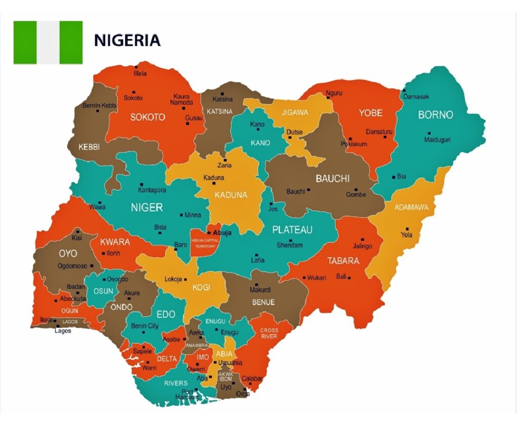
MAP OF NIGERIA SHOWING THE 36 STATES

Nigeria – Population
The Nigerian Population is currently 233,576,217 as estimated by the latest United Nations data.
Language:
The official Language in Nigeria is English. Other most popular languages are Hausa, Yoruba, Igbo, and Pidgin English.
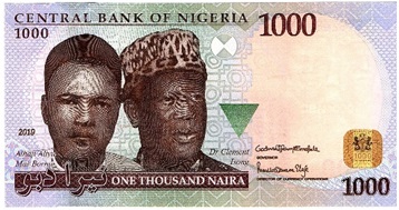
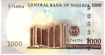
Currency: NAIRA


Flag:

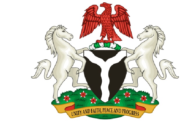
Coat Of Arms:


